A powerful storm system is producing whiteout conditions in portions of the central United States and nearly 7 million people are under a tornado watch while residents in parts of the Plains remain under a threat for dangerous wildfires.
It isn’t a carbon copy of last week’s deadly, cross-country storm but will once again spawn severe thunderstorms and potential tornadoes, and its winds could trigger additional fast-moving fires.
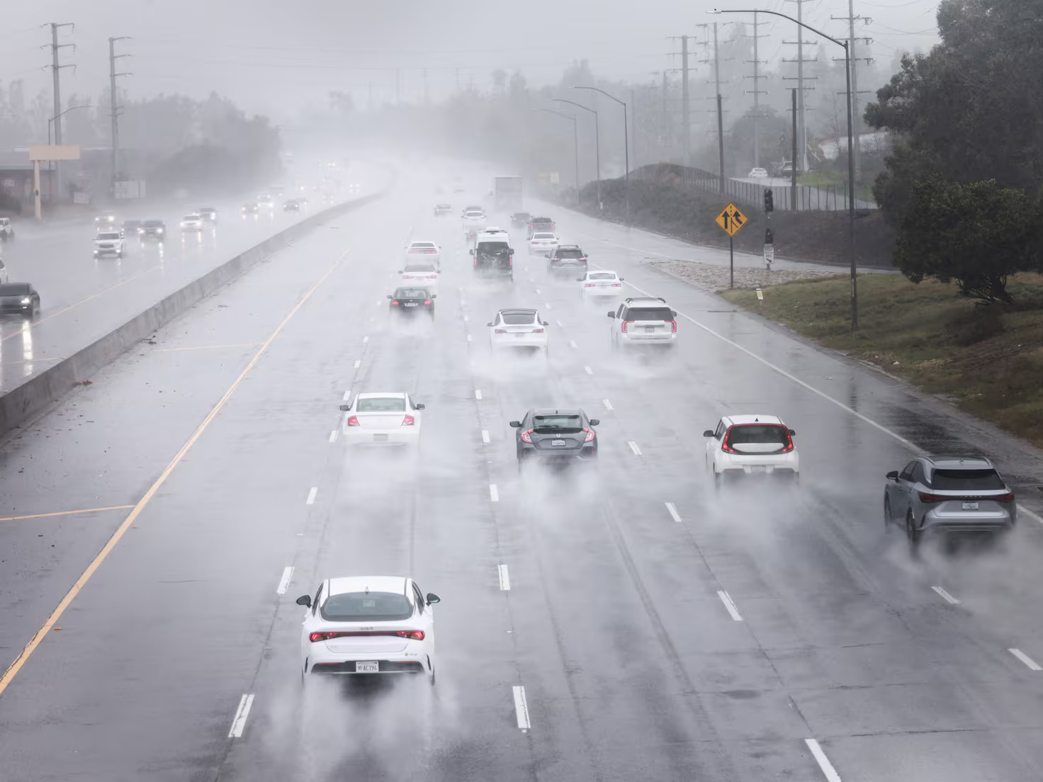
The storm reached the Plains early Wednesday morning and strengthened considerably as it tracked into the Midwest in the afternoon, knocking out power and making travel treacherous.
Snow began in the central US Tuesday night but picked up in intensity as the storm strengthened. Spots caught under the heaviest snowfall from far eastern Nebraska to Michigan’s Upper Peninsula could experience more than half a foot of snow through Wednesday night.
A few inches of March snow aren’t typically dangerous enough to cause significant disruptions in the Plains and Midwest, but conditions worsen when paired with prolonged gusty winds.
Around 195,000 homes and businesses were without power Wednesday evening with Nebraska, Missouri and Arkansas experiencing the most outages amid the snow and winds, according to PowerOutage.us.
Multiple stretches of Interstate 80 in Nebraska and portions of other state roadways were closed due to blizzard conditions, crashes, fallen trees and downed powerlines, according to the state’s department of transportation.
Travel issues extended well beyond Nebraska. About 250 miles of I-70 was shut down in Kansas from Salina to the border with Colorado, according to Kansas’s transportation department.
Part of I-29 in Iowa was also closed Wednesday amid “extremely hazardous” travel conditions, the Iowa State Patrol warned.
Blizzards occur when snow and strong winds combine and create whiteout conditions for a few hours. Whiteout conditions — like dust storms — make it incredibly hard to see more than a few feet ahead.
Travel in these conditions could be “treacherous and potentially life-threatening,” warned the National Weather Service in Des Moines, Iowa.
Video from CNN affiliate KTIV showed roads in Sioux City, Iowa, covered in snow, with vehicles stuck on highways unable to move. Tow trucks can be seen unable to reach trapped vehicles and drivers manually removing snow from underneath their cars.
Blizzard warnings were in effect Wednesday for more than 600 miles from eastern Colorado to southern Minnesota.
Multiple homes and buildings in Gary, Indiana, saw significant wind damage, according to CNN affiliate WBBM.
Strong winds and a possible tornado peeled back the roof of Frankie Woods McCullough Academy, a public school in Gary, damaging the gymnasium and classrooms, WBBM reported.
Highland, Indiana was also hit especially hard Wednesday, with numerous trees coming down and at least one landing on a house, according to WBBM.
Another round of severe thunderstorms
Thunderstorms rumbled to life Wednesday afternoon in parts of the Midwest.
The severe thunderstorm threat is nowhere near as significant or widespread as the tornado outbreak spawned by the deadly storm this past weekend, but storms could hinder recovery efforts where people are trying to pick up the pieces and threaten some of the same areas impacted Friday.